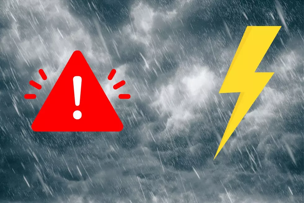
Storms Bringing Hail, Damaging Winds and More To West Central Mo Tonight
Update 6:24 PM
A Tornado Watch has been issued for parts of Kansas and Missouri including much of West Central Missouri until 1:00 AM CDT Thursday, March 14, 2024. The National Weather Service says tornadoes, scattered hail up to tennis ball size likely, and scattered wind gusts up to 70 miles per hour are possible. More details on tonight's storms are listed below.
Pettis County EMA advised that all storm shelters are open should the need arise.
If the storms last night kept you up, tonight might be even wilder thanks to the weather.
Most of our listening area is at risk for severe weather again tonight. The National Weather Service out of Kansas City is saying, "Severe weather is expected across the region tonight" on their Facebook page. They say large hail, damaging winds, and tornadoes are possible with these storms after 5:00 PM CDT tonight.
Much of West Central Missouri and points west including Kansas City are at an Enhanced Risk for severe weather. While Sedalia and Booneville have a Slight Risk for severe weather tonight.
In addition to the possibility of large hail, damaging winds, and tornadoes, they're also warning residents to be alert for flash flooding with the amount of rain we could see tonight and tomorrow.
Digging into the forecast a little deeper, the National Weather Service expects storm development between 5:00 PM - 7:00 PM CDT and then expand in coverage between 7:00 PM - 9:00 PM CDT and continue overnight.
As far as dangerous winds, severe hail, and tornados, the biggest threat is severe hail. Areas from Kansas City east to Boonville and Sedalia can expect a 30-45% chance of severe hail. Boonville and Sedalia are right on the line, however, there's only a 15-29% chance of severe hail for these two towns.
Our area has a 15-30% chance of damaging, severe, winds. And the likelihood of a tornado is rather small at 5-10%.
That said, it's Mother Nature, and any chance of severe weather means these things might happen. The National Weather Service advises that people be weather-aware and ready to act tonight. Additionally, The National Weather Service recommends that people have multiple ways to receive warning information.
Our radio stations, Kix 105.7, Mix 92.3, and 1050 KSIS will have updated forecasts and will broadcast any warnings throughout the evening and overnight hours.
LOOK: The most extreme temperatures in the history of every state
Gallery Credit: Anuradha Varanasi
KEEP READING: What to do after a tornado strikes
More From Mix 92.3